|
1
|
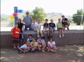
- By the Mercury Mine Desert Dudes
|
|
2
|
- To have the Desert Dudes create a digital map – using accurate mapping
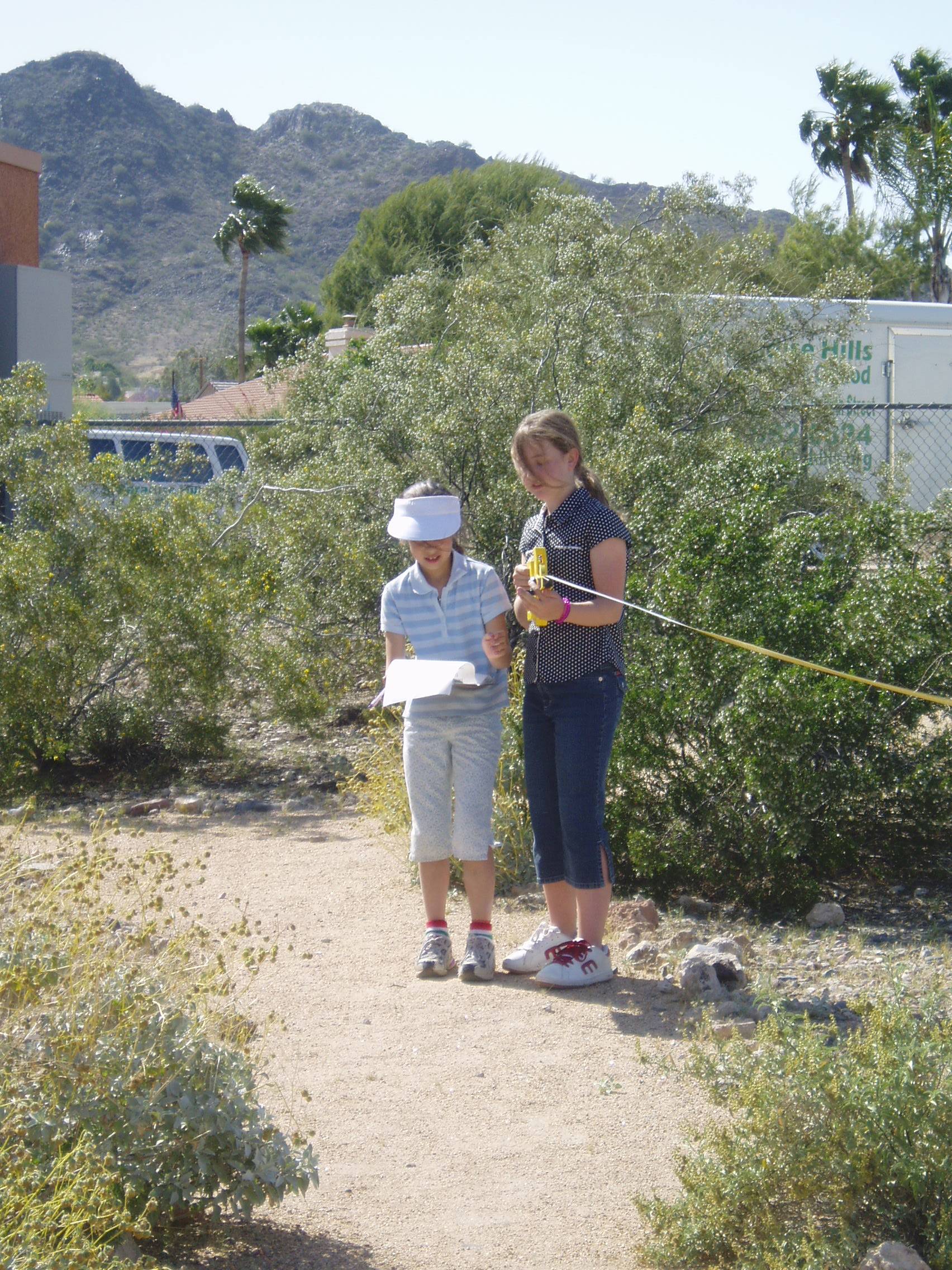
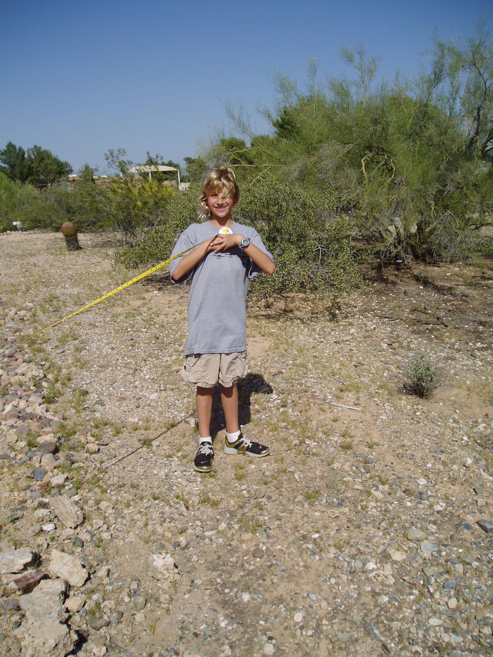
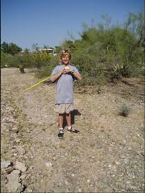
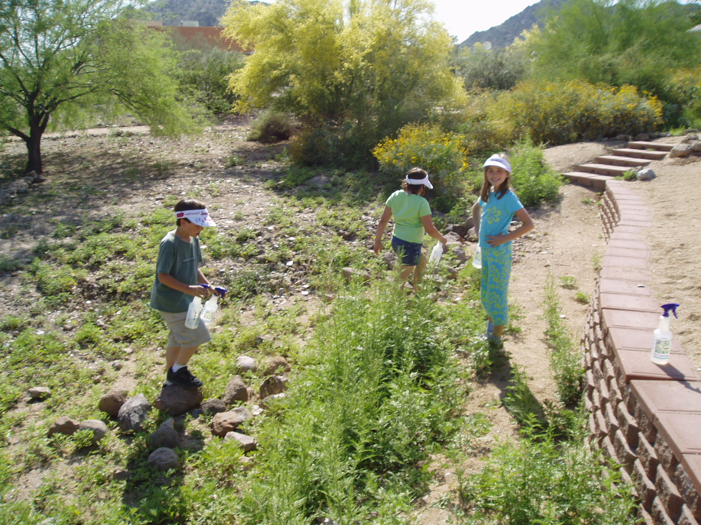
techniques and computer GIS tools
|
|
3
|
- Students can take home and work on their computer.
- Map can be posted on school’s web site.
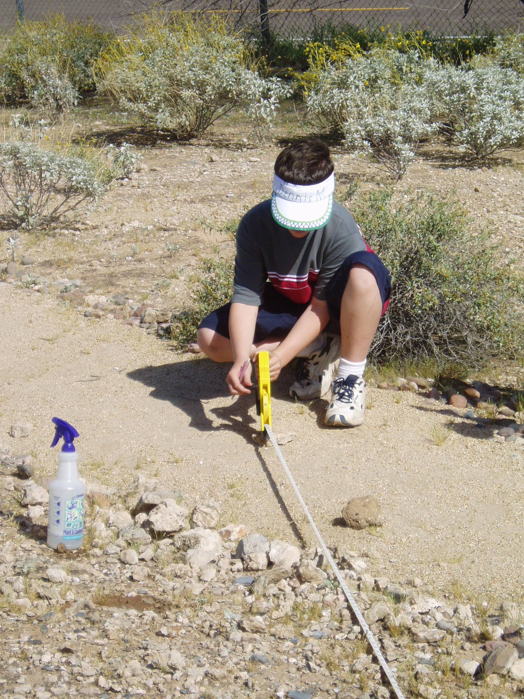
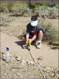
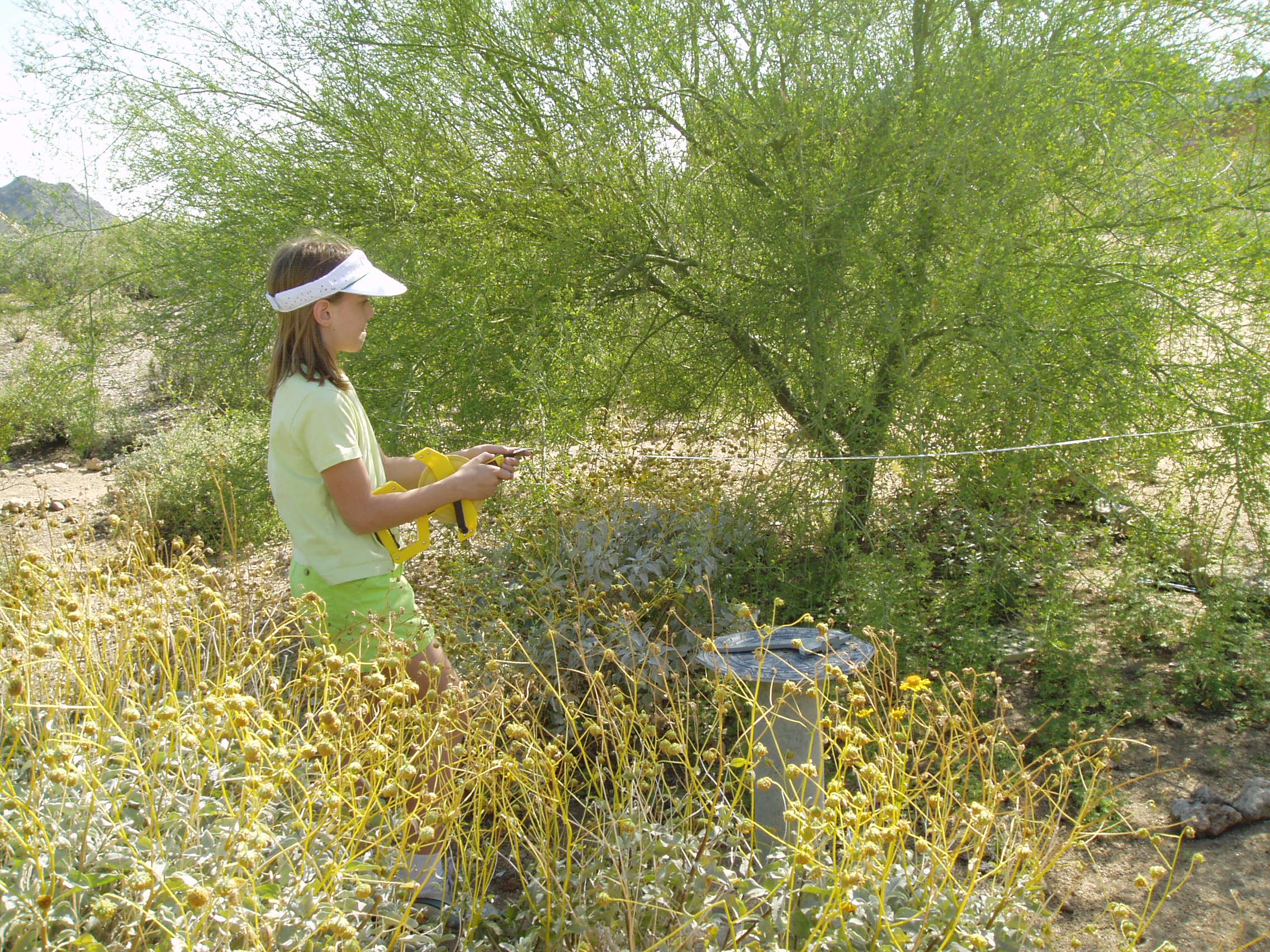
- Great teaching tool for mapping and new computer technology.
|
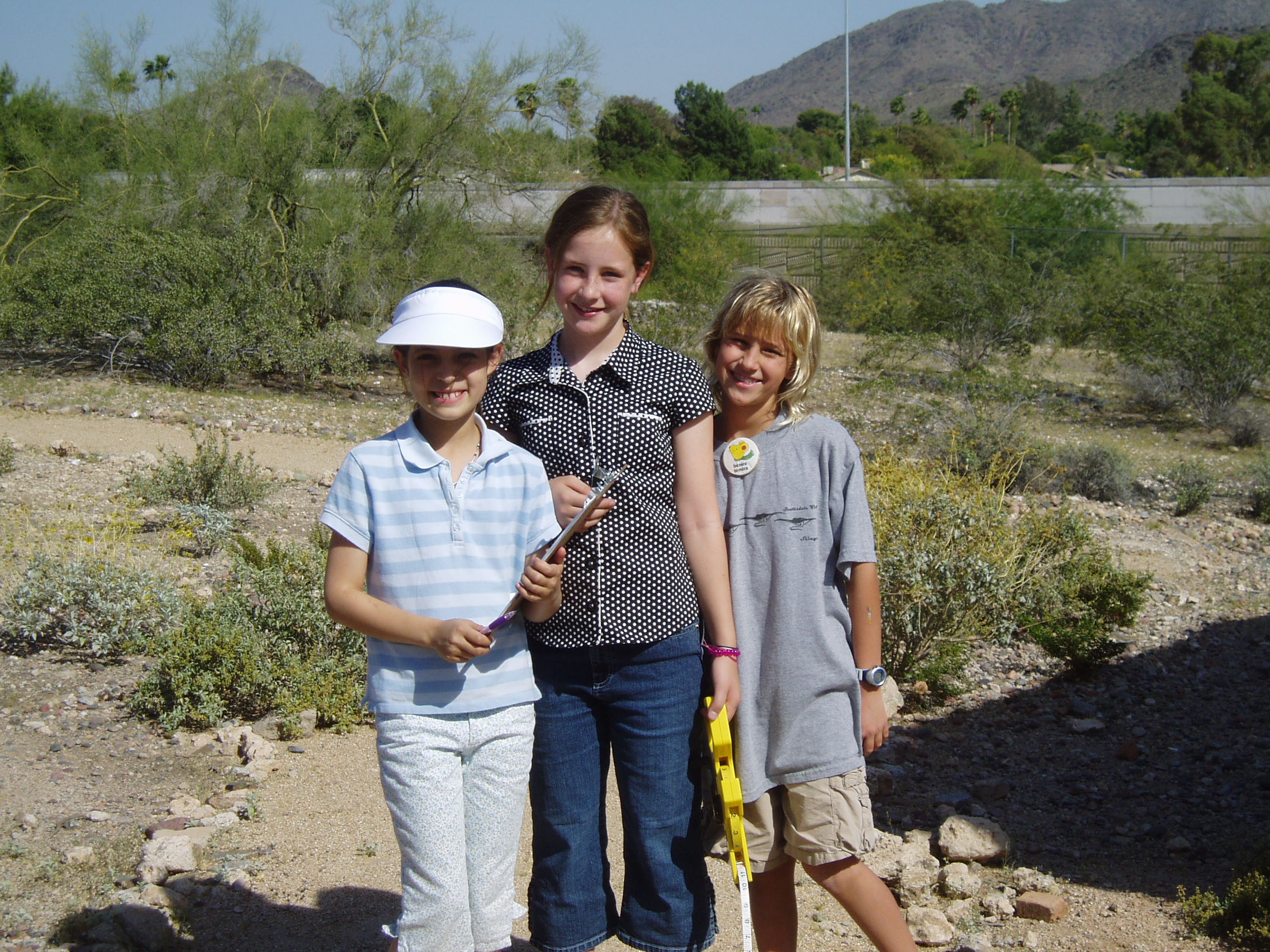
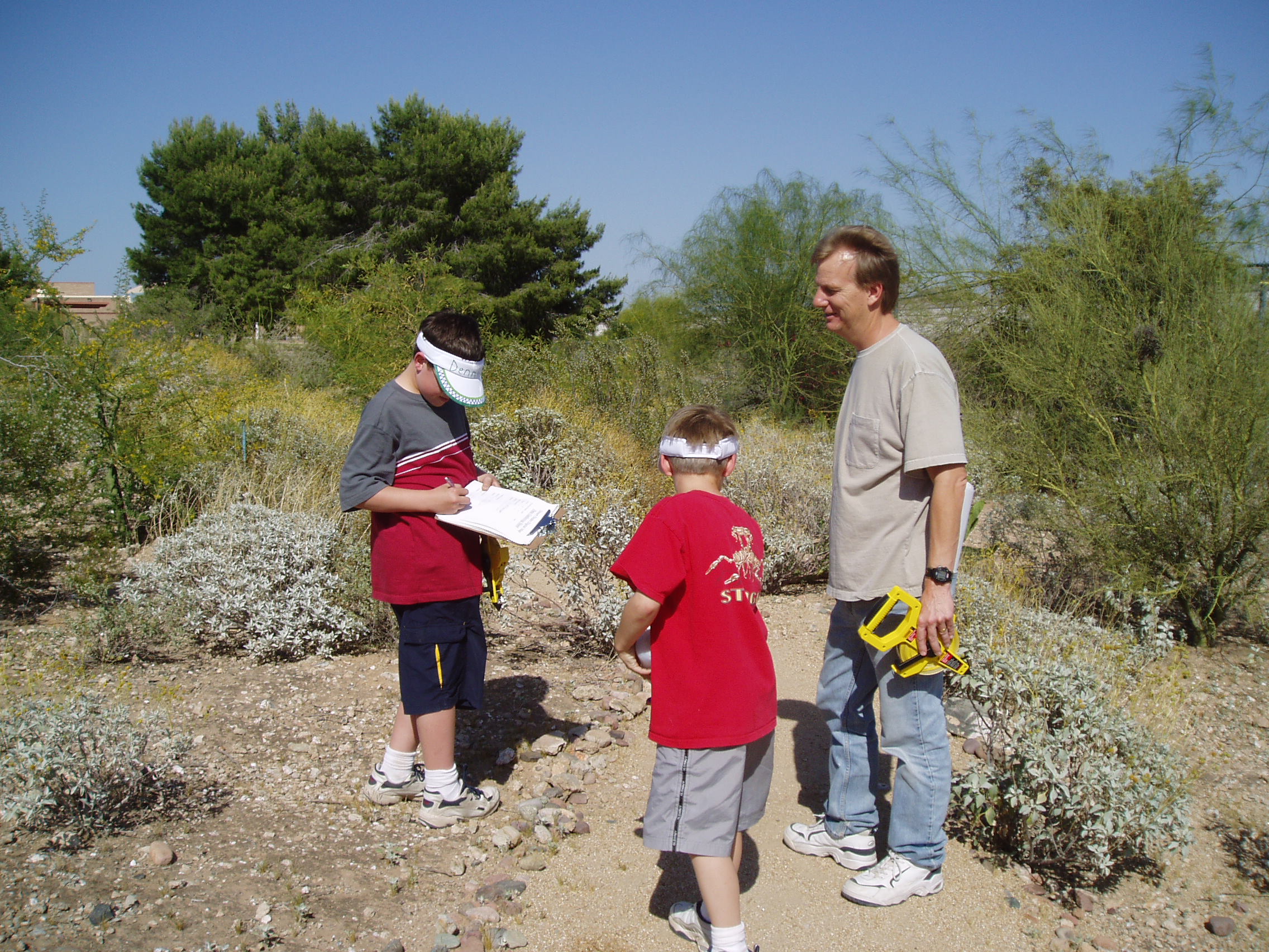
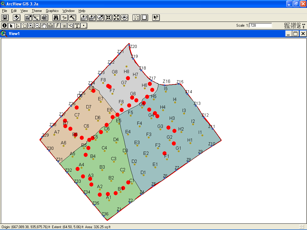
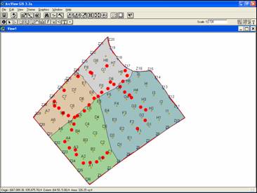
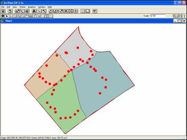
|
4
|
- So students can then use mapping software to make measurements of
various aspects of map.
- So the map will look right.
Things will appear were you expect and look right in proportion
to other things.
|
|
5
|
- We don’t guess how to draw things in the computer map.
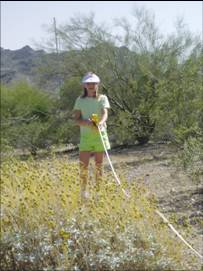
- We measure things in the Desert Area first, write down our measurements
and use those measurements to draw in the computer map.
|
|
6
|
- Usually you measure from a known place.
- We decided to measure from the fences of the Desert Area. (How far were things from the fences.)
|
|
7
|
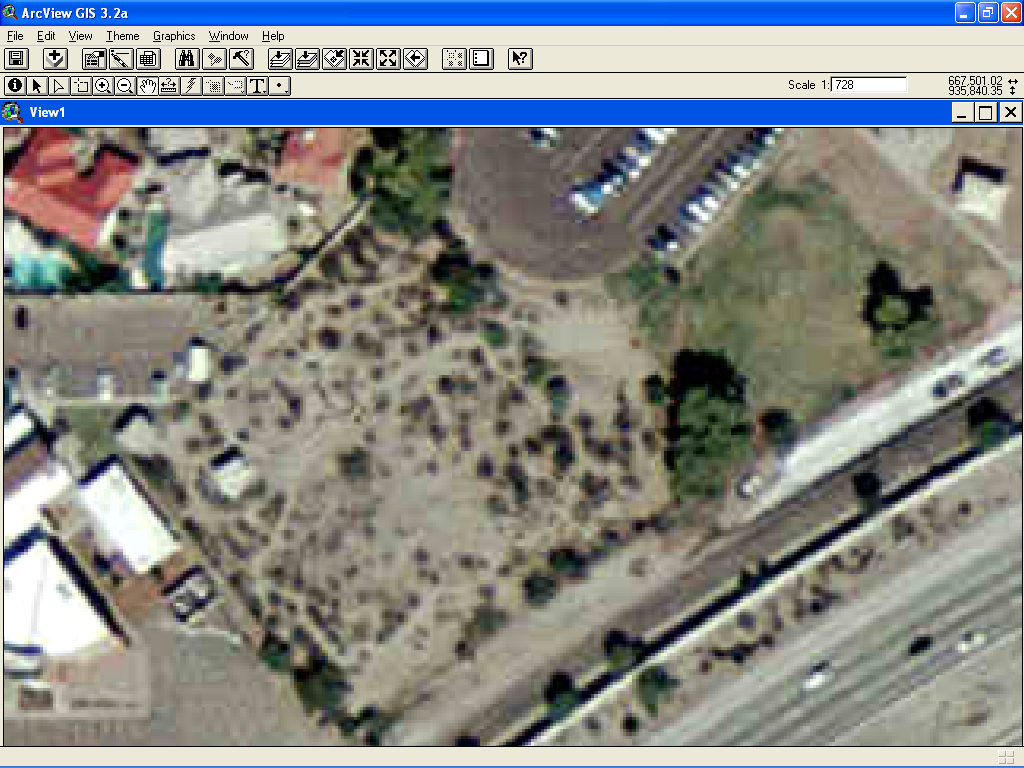
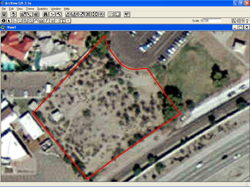
- We obtained an aerial photo of the Desert Area showing the boundaries.
We could use the fences because they would correspond to the boundary on
the photo.
|
|
8
|
- We could just trace the around the border of the Desert Area to get a
pretty accurate picture of the Desert Area border in the computer. The fences would then match that
border.
|
|
9
|
- We thought about using long nylon tape measures.
- Too many trees and bushes
- Took too long and was too difficult for the Dudes.
- We needed another way to measure using the fence as a starting base.
|
|
10
|
|
|
11
|
- The globe – longitude and latitude
|
|
12
|
|
|
13
|
|
|
14
|
|
|
15
|
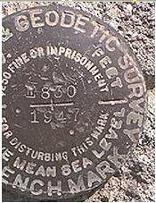
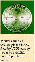
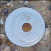
- United States Geological Survey (USGS) Geodetic Benchmarks:
|
|
16
|
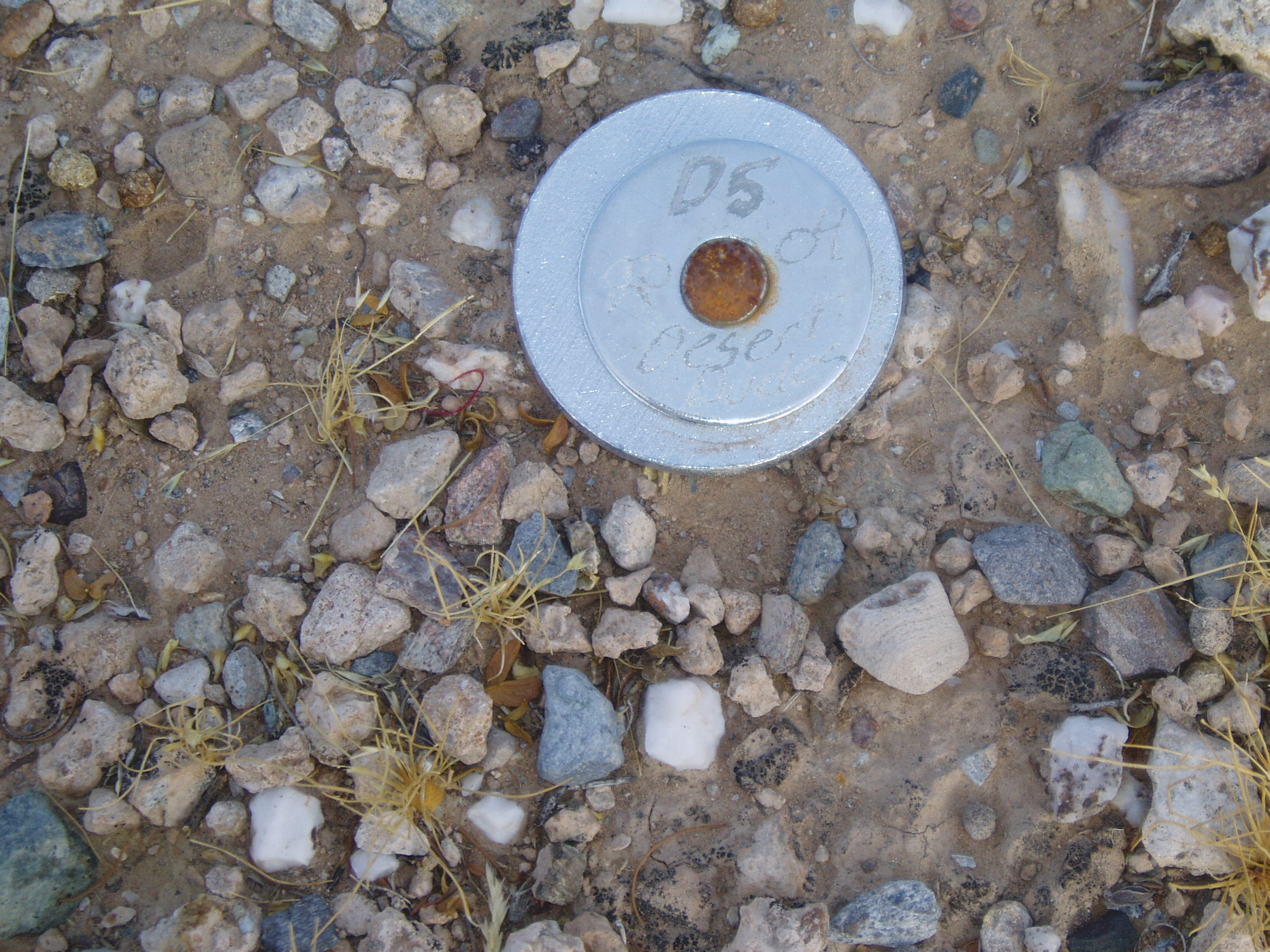
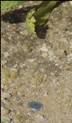
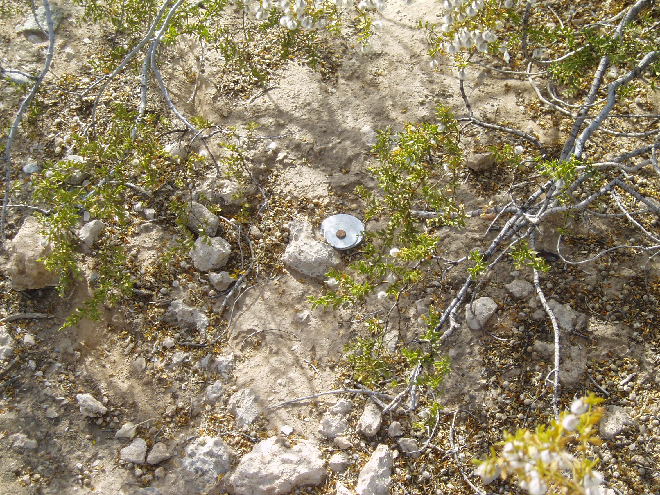
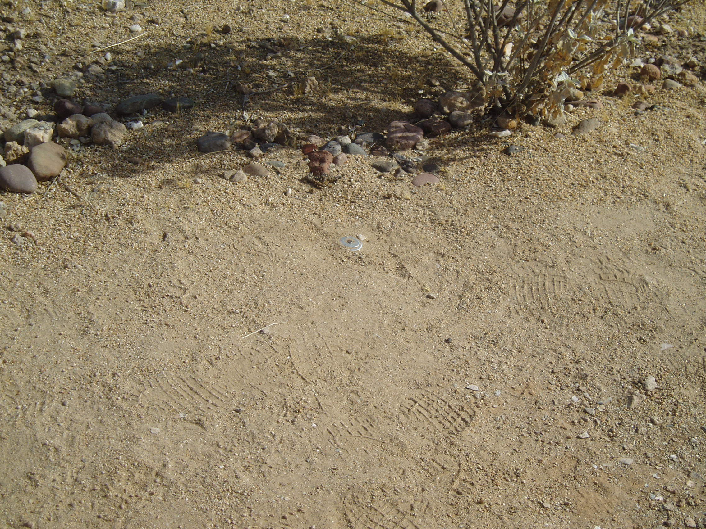
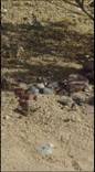
- Created with engraved nickel washers nailed into the ground every 30
feet
|
|
17
|
- Don’t have to fight through as many trees and bushes.
- Many more points that are much closer to measure from.
- More accurate – we know exactly what points we are measuring from.
|
|
18
|
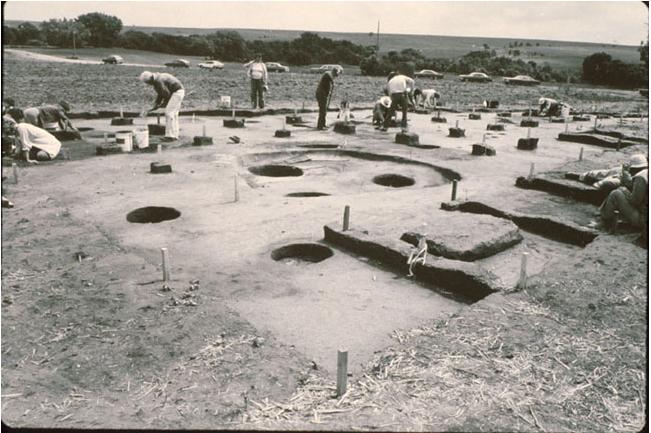
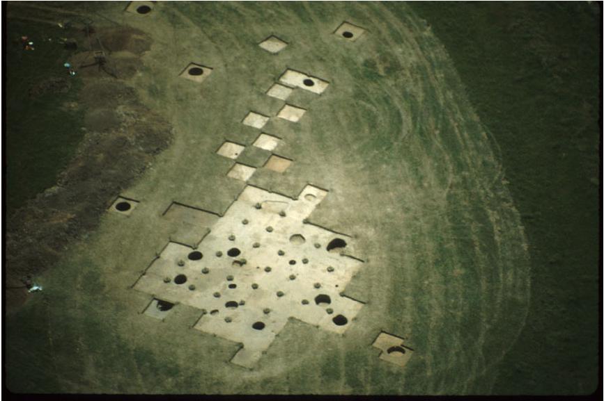
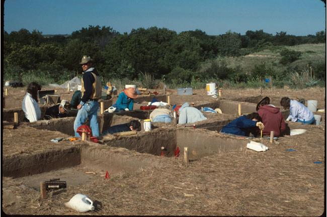
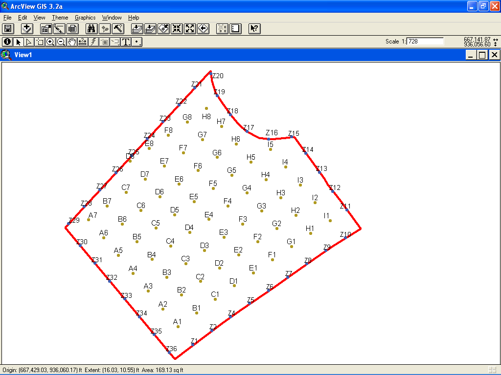
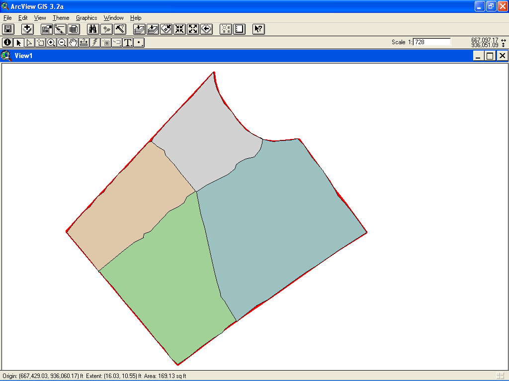
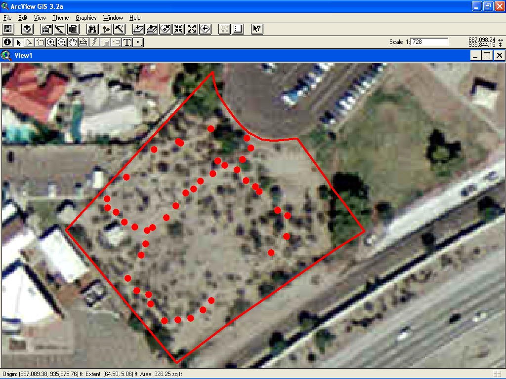
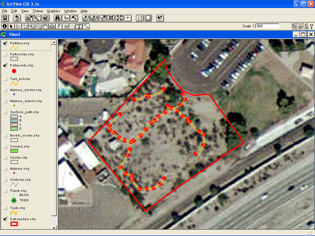
- First we broke the Desert Area up into four sections.
|
|
19
|
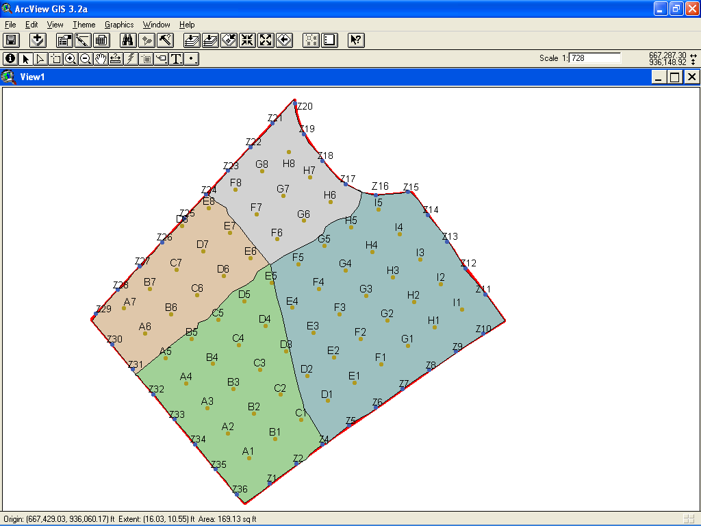
- Then the Dudes broke up into a team for each area and used the grid to
make measurements.
|
|
20
|
|
|
21
|
|
|
22
|
|
|
23
|
|
|
24
|
|
|
25
|
|
|
26
|
|
|
27
|
|
|
28
|
|
|
29
|
|
|
30
|
|
|
31
|
|

 Notes
Notes